Future Dehavelland Field, 11km to East

Similation of Dehavelland Field

Drone view west. Chestermere High School in midground. Calgary and mountains beyond.

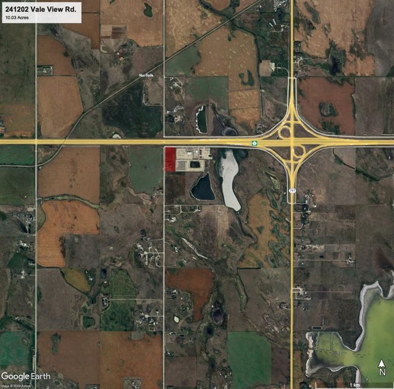
Property outlined and communities highlighted.


Looking West

Looking Southwest

Driveway


North view of property

Sunset from driveway.

View to the north of Trans Canda Highway.

Power line across the road.

Water main and Natural-Gas line to south

Sewer main to the south.

Chestermere High School 1km way.

Chestermere High School near by.

Chestermere airport just to the north of the property.

Lake Chestermere

Planning for subdivision to the north.

Future Dehavelland Field, 11km to East
Similation of Dehavelland Field
Drone view west. Chestermere High School in midground. Calgary and mountains beyond.
Property outlined and communities highlighted.
Looking West
Looking Southwest
Driveway
North view of property
Sunset from driveway.
View to the north of Trans Canda Highway.
Power line across the road.
Water main and Natural-Gas line to south
Sewer main to the south.
Chestermere High School 1km way.
Chestermere High School near by.
Chestermere airport just to the north of the property.
Lake Chestermere
Planning for subdivision to the north.
Future Dehavelland Field, 11km to East
Similation of Dehavelland Field